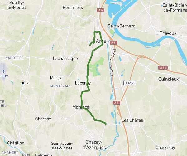
This running route covers 13.185mi starting from Sainte-Foy-lès-Lyon, Rhône. The run is a loop trail and returns to the trailhead. This run is rated as strenuous, expect about 2h7m to complete it. The route has an elevation gain of 397ft and an elevation loss of 292ft.
Semi Sainte-Foy
Route details
6.23mph
Speed
1452 kcal
Calories burned
Loop trail
Route type
558ft
Min altitude
951ft
Max altitude
Route profile
397ft
Elevation gain
292ft
Elevation loss
558ft
Min altitude
951ft
Max altitude
How to get there
Trailhead: 6 Rue Léon Granier, 69110 Sainte-Foy-lès-Lyon, France
GPS coordinates of the trailhead: 45.73493, 4.78473 / 45°44'5'' N, 4°47'5'' E