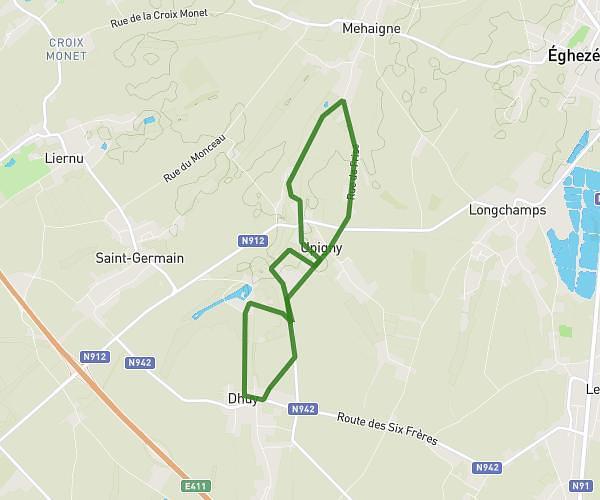
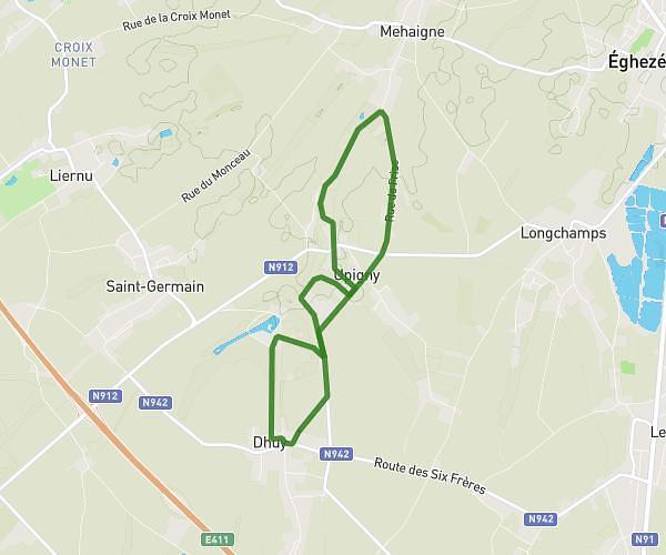
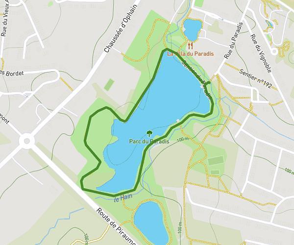
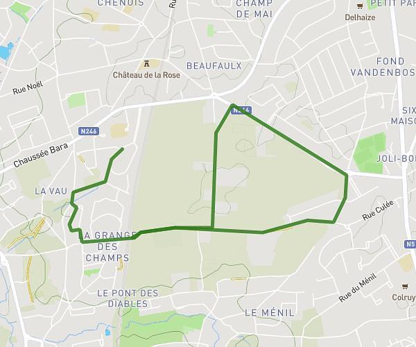
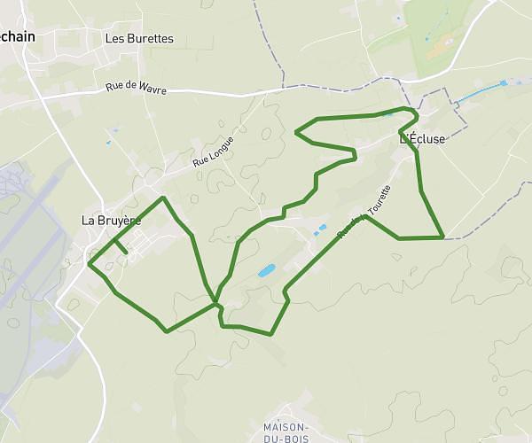
This running route covers 4.378mi starting from Wavre, Walloon Brabant. The run is a loop trail and returns to the trailhead. This run is rated as easy, expect about 42m to complete it. The route has an elevation gain of 164ft and an elevation loss of 66ft.
Gare Limal,Ransart, Rofessart, Profondsart
Route details
6.25mph
Speed
480 kcal
Calories burned
Loop trail
Route type
194ft
Min altitude
351ft
Max altitude
Route profile
164ft
Elevation gain
66ft
Elevation loss
194ft
Min altitude
351ft
Max altitude
How to get there
Trailhead: Rue Des Genêts 5, 1300 Wavre, Walloon Brabant, Belgium
GPS coordinates of the trailhead: 50.69627, 4.5621 / 50°41'46'' N, 4°33'43'' E