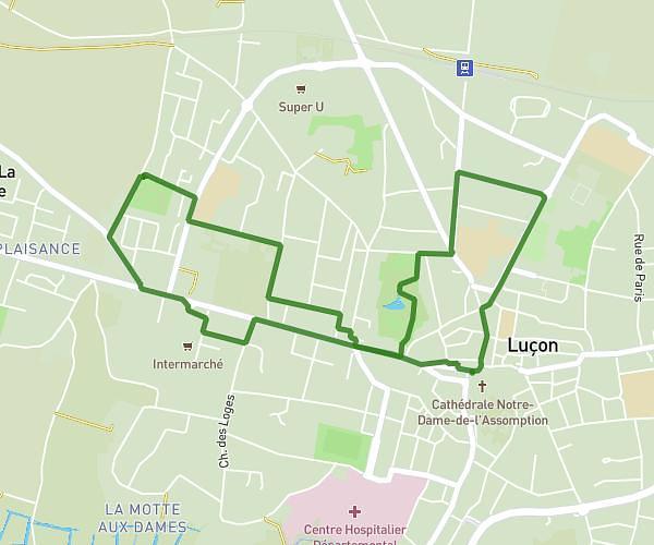
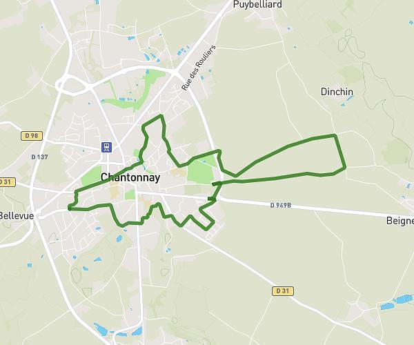
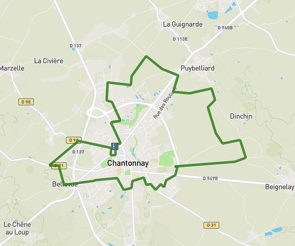
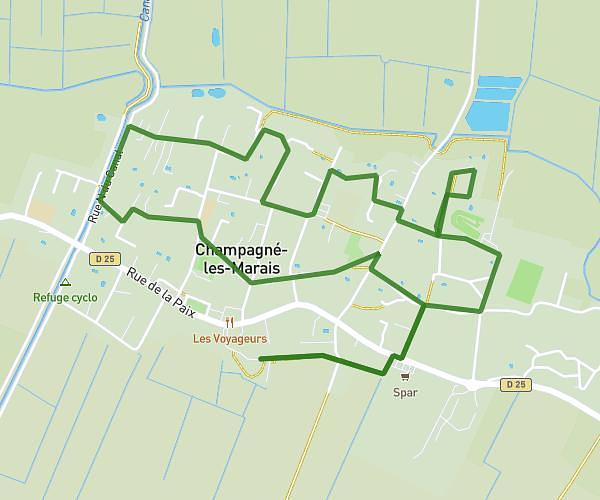
This running route covers 12.724mi starting from Saint-Cyr-des-Gâts, Vendée. The run is a loop trail and returns to the trailhead. This run is rated as strenuous, expect about 2h16m to complete it. The route has an elevation gain of 876ft and an elevation loss of 873ft.
Xhd
Route details
5.59mph
Speed
1561 kcal
Calories burned
Loop trail
Route type
135ft
Min altitude
427ft
Max altitude
Route profile
876ft
Elevation gain
873ft
Elevation loss
135ft
Min altitude
427ft
Max altitude
How to get there
Trailhead: 29 L'humeau Guyard, 85410 Saint-Cyr-des-Gâts, France
GPS coordinates of the trailhead: 46.575134, -0.882348 / 46°34'30'' N, 0°52'56'' W