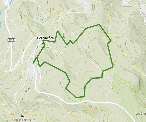
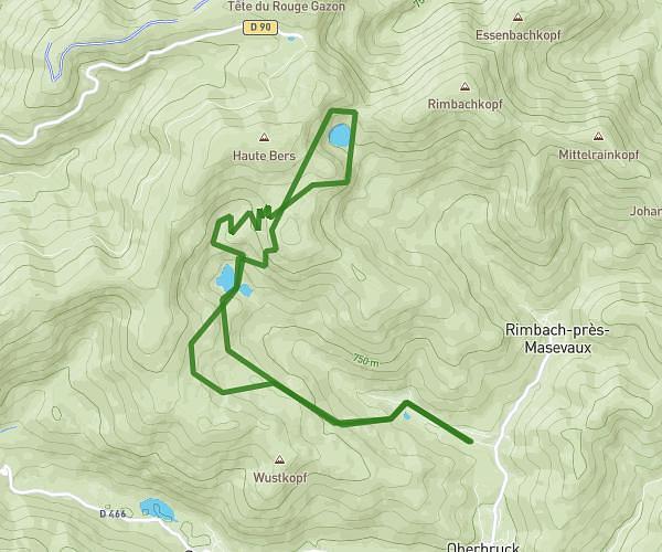
This hiking trail covers 4.801mi starting from Le Valtin, Vosges. The hike does not return to the trailhead and ends near Route Forestière François, 68380 Metzeral, France. This hike is rated as hard, plan for about 2h to complete it. The route has an elevation gain of 860ft and an elevation loss of 1932ft.
Vosges J1
Route details
2.4mph
Speed
887 kcal
Calories burned
11.0%
Avg grade
Point to point
Route type
2664ft
Min altitude
4436ft
Max altitude
Steep climb
Route profile
860ft
Elevation gain
1932ft
Elevation loss
2664ft
Min altitude
4436ft
Max altitude
How to get there
Trailhead: 2 Route De La Schlucht, 88400 Le Valtin, France
GPS coordinates of the trailhead: 48.0641, 7.02297 / 48°3'50'' N, 7°1'22'' E