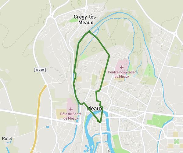
This running route covers 4.709mi starting from Le Plessis-Belleville, Oise. The run is a loop trail and returns to the trailhead. This run is rated as easy, expect about 51m to complete it. The route has an elevation gain of 56ft and an elevation loss of 43ft.
Running
Route details
5.54mph
Speed
583 kcal
Calories burned
Loop trail
Route type
341ft
Min altitude
387ft
Max altitude
Route profile
56ft
Elevation gain
43ft
Elevation loss
341ft
Min altitude
387ft
Max altitude
How to get there
Trailhead: 10 Rue Du 19 Mars 1962, 60330 Le Plessis-Belleville, France
GPS coordinates of the trailhead: 49.09338, 2.754513 / 49°5'36'' N, 2°45'16'' E