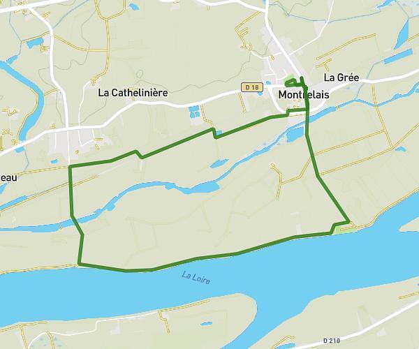
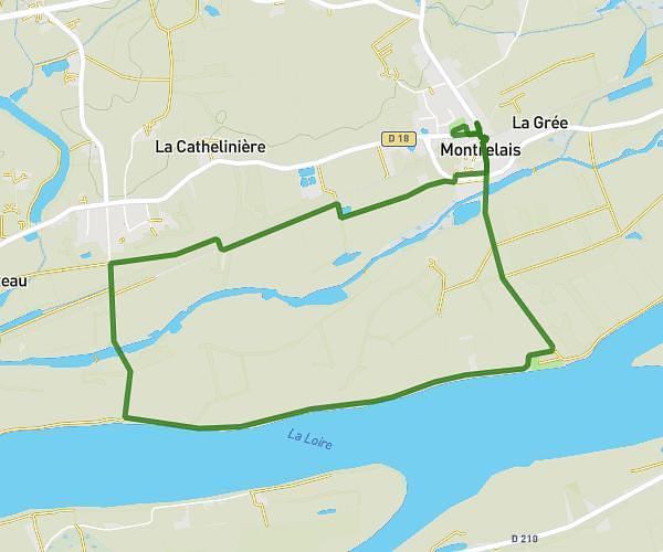
This running route covers 7.122mi starting from Sèvremoine, Maine-et-Loire. The run is a loop trail and returns to the trailhead. This run is rated as moderate, expect about 57m18s to complete it. The route has an elevation gain of 374ft and an elevation loss of 374ft.
Course 08/06
Route details
7.46mph
Speed
655 kcal
Calories burned
Loop trail
Route type
262ft
Min altitude
361ft
Max altitude
Route profile
374ft
Elevation gain
374ft
Elevation loss
262ft
Min altitude
361ft
Max altitude
How to get there
Trailhead: 28 Rue Georges Raymond, 49450 Sèvremoine, France
GPS coordinates of the trailhead: 47.126536, -0.998382 / 47°7'35'' N, 0°59'54'' W