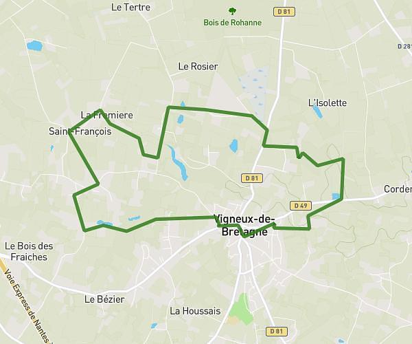
This running route covers 7.962mi starting from Vigneux-de-Bretagne, Loire-Atlantique. The run does not return to the trailhead and ends near Résidence Du Bois Saint-Louis, 44700 Orvault. This run is rated as hard, expect about 1h17m to complete it. The route has an elevation gain of 138ft and an elevation loss of 295ft.
boulot
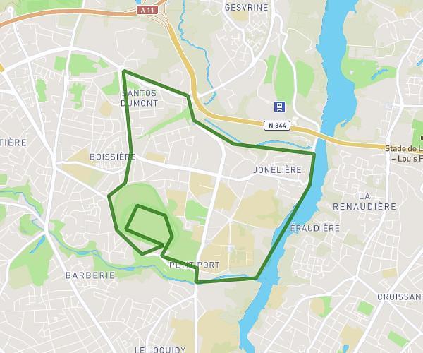
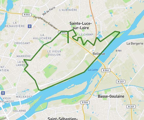
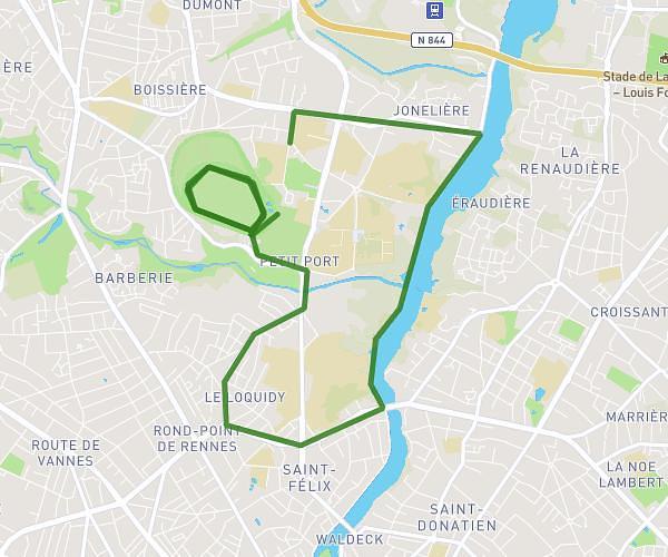
Route details
6.2mph
Speed
880 kcal
Calories burned
Point to point
Route type
85ft
Min altitude
259ft
Max altitude
Route profile
138ft
Elevation gain
295ft
Elevation loss
85ft
Min altitude
259ft
Max altitude
How to get there
Trailhead: Mercedes-Benz ETOILE Pro, 44360 Vigneux-de-Bretagne
GPS coordinates of the trailhead: 47.28113, -1.72382 / 47°16'52'' N, 1°43'25'' W