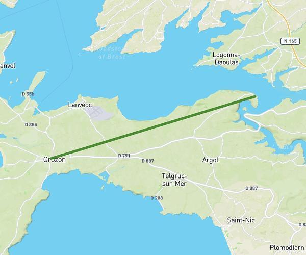
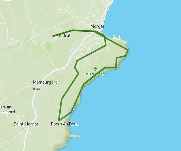
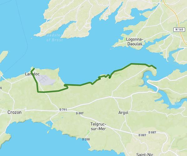
Explore this hiking route of 20.59km starting from Landévennec, Finistère. The hike does not return to the starting point and ends near Poullebred, 29550 Plomodiern. This hike has no defined difficulty level, plan for about 1h34m to complete it. The route has a positive elevation gain of 543m and a negative elevation loss of 532m.
SIXIÈME ETAPE
Route details
Route profile
543m
Elevation +
532m
Elevation -
11m
Min altitude
323m
Max altitude
How to get there
Route starting point: Place De La Mairie, 29560 Landévennec
GPS coordinates of the starting point: 48.29235, -4.26734 / 48°17'32'' N, 4°16'2'' W
Calculate the time to reach the starting point from your location or an address