MapPlanner
4.629mi
Distance
53m3s
Duration
11:27/mi
Pace
Easy
Level

Thom04 *

Route details

5.24mph
Speed
607 kcal
Calories burned
Loop trail
Route type
3ft
Min altitude
85ft
Max altitude

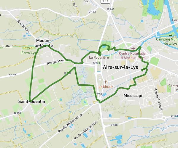
This running route covers 4.629mi starting from Arques, Pas-de-Calais. The run is a loop trail and returns to the trailhead. This run is rated as easy, expect about 53m3s to complete it. The route has an elevation gain of 197ft and an elevation loss of 197ft.

Route profile

197ft
Elevation gain
197ft
Elevation loss
3ft
Min altitude
85ft
Max altitude

How to get there

Trailhead: Rue Ernest Renan, 62510 Arques

GPS coordinates of the trailhead: 50.73615, 2.29569 / 50°44'10'' N, 2°17'44'' E

Caution: May Cross Private Property

This route may pass through or near private property. Always respect posted signs, obtain permission where required, and follow local trespassing laws. MapPlanner does not guarantee public access along any route.

Safety Notice

Trail and road conditions may change without notice due to weather, construction, or other factors. Always verify current conditions before heading out. You are responsible for your own safety — follow local signage, obey traffic laws, and use your best judgment on the trail.