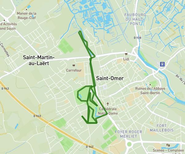
This running route covers 6.833mi starting from Arques, Pas-de-Calais. The run does not return to the trailhead and ends near Rue D'alsace, 62510 Arques. This run is rated as moderate, expect about 1h8m to complete it. The route has an elevation gain of 180ft and an elevation loss of 197ft.
Thom04 *
Route details
6.03mph
Speed
777 kcal
Calories burned
Point to point
Route type
3ft
Min altitude
72ft
Max altitude
Route profile
180ft
Elevation gain
197ft
Elevation loss
3ft
Min altitude
72ft
Max altitude
How to get there
Trailhead: Rue Ernest Renan, 62510 Arques
GPS coordinates of the trailhead: 50.73623, 2.29581 / 50°44'10'' N, 2°17'44'' E