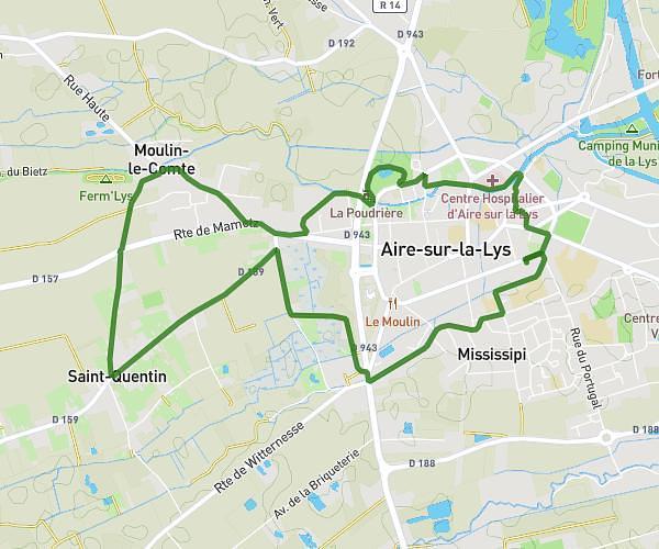
This running route covers 5.07mi starting from Arques, Pas-de-Calais. The run does not return to the trailhead and ends near Avenue Du Général De Gaulle, 62510 Arques. This run is rated as moderate, expect about 53m34s to complete it. The route has an elevation gain of 223ft and an elevation loss of 184ft.
Thom04 *
Route details
5.68mph
Speed
612 kcal
Calories burned
Point to point
Route type
3ft
Min altitude
89ft
Max altitude
Route profile
223ft
Elevation gain
184ft
Elevation loss
3ft
Min altitude
89ft
Max altitude
How to get there
Trailhead: Rue Ernest Renan, 62510 Arques
GPS coordinates of the trailhead: 50.73623, 2.29574 / 50°44'10'' N, 2°17'44'' E