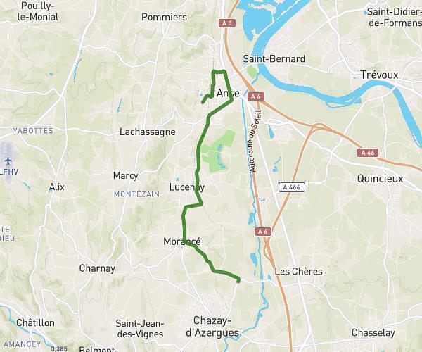
This running route covers 8.532mi starting from Lyon, Rhône. The run does not return to the trailhead and ends near 11 Place Des Minimes, 69005 Lyon, France. This run is rated as hard, expect about 1h8m to complete it. The route has an elevation gain of 266ft and an elevation loss of 0ft.
Course Lyon
Route details
7.46mph
Speed
785 kcal
Calories burned
Point to point
Route type
564ft
Min altitude
830ft
Max altitude
Route profile
266ft
Elevation gain
0ft
Elevation loss
564ft
Min altitude
830ft
Max altitude
How to get there
Trailhead: 40 Rue Rabelais, 69003 Lyon, France
GPS coordinates of the trailhead: 45.76269, 4.84589 / 45°45'45'' N, 4°50'45'' E