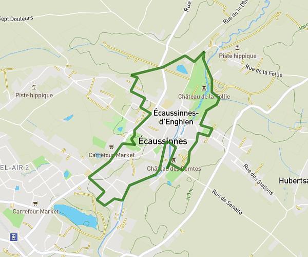
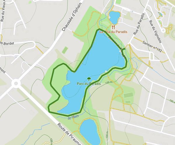
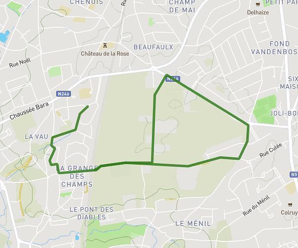
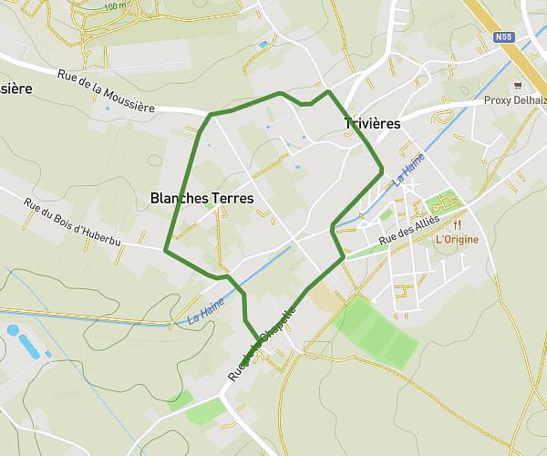
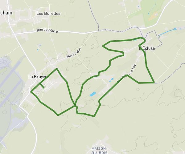
This running route covers 3.127mi starting from Braine-le-Château, Walloon Brabant. The run is a loop trail and returns to the trailhead. This run is rated as easy, expect about 30m11s to complete it. The route has an elevation gain of 384ft and an elevation loss of 394ft.
RC5
Route details
6.21mph
Speed
345 kcal
Calories burned
Loop trail
Route type
220ft
Min altitude
443ft
Max altitude
Route profile
384ft
Elevation gain
394ft
Elevation loss
220ft
Min altitude
443ft
Max altitude
How to get there
Trailhead: Vieux Chemin De Nivelles, 1440 Braine-le-Château
GPS coordinates of the trailhead: 50.68049, 4.26831 / 50°40'49'' N, 4°16'5'' E