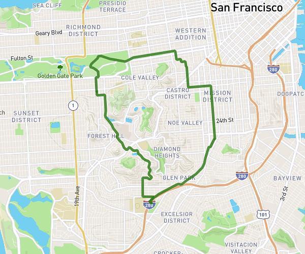
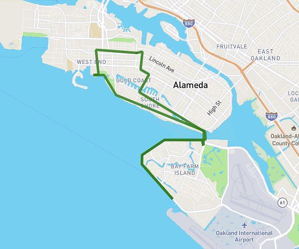
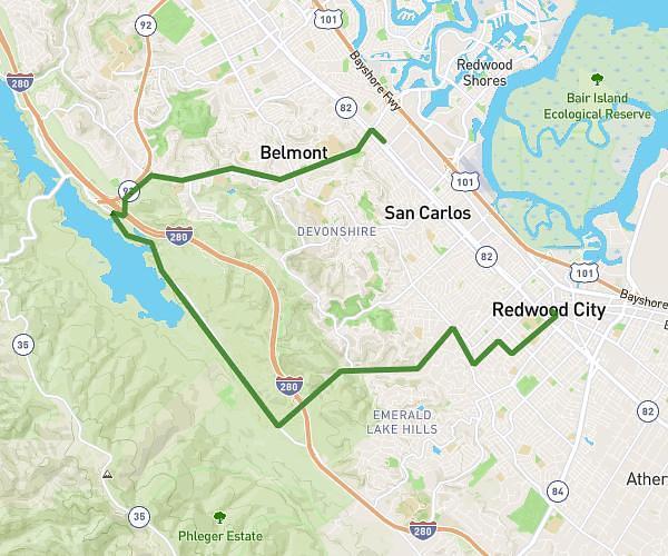
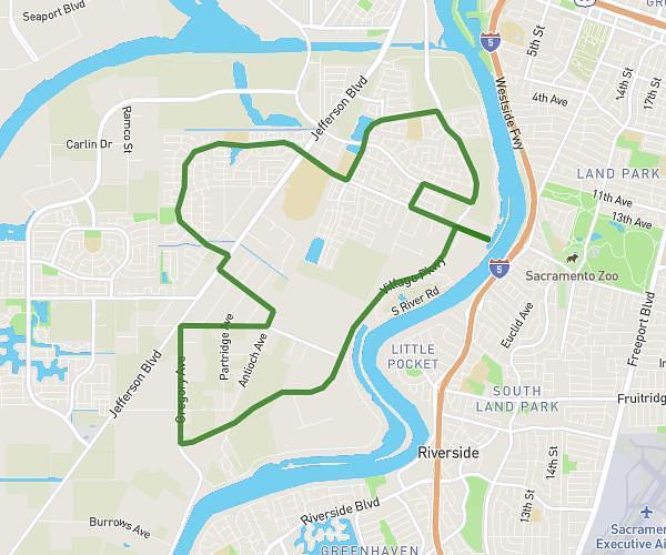
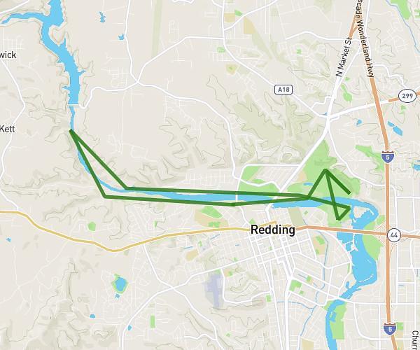
This cycling route covers 14.487mi starting from Alameda, California. The ride is a loop trail and returns to the trailhead. This route is rated as moderate, plan for about 1h27m to complete it. The route has an elevation gain of 561ft and an elevation loss of 558ft.
Night Bike Ride 20260610
Route details
769 kcal
Calories burned
1.5%
Avg grade
Loop trail
Route type
-7ft
Min altitude
36ft
Max altitude
Route profile
561ft
Elevation gain
558ft
Elevation loss
-7ft
Min altitude
36ft
Max altitude
How to get there
Trailhead: 1612 Sherman Street, Alameda, California 94501, United States
GPS coordinates of the trailhead: 37.775331, -122.26312 / 37°46'31'' N, 122°15'47'' W