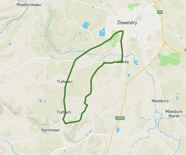
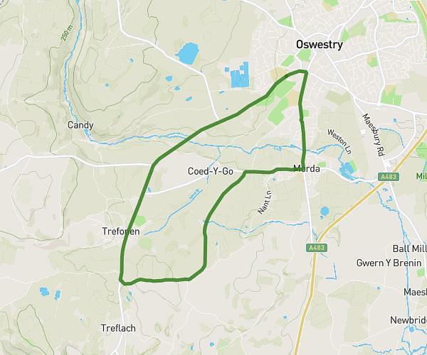
This running route covers 8.111mi starting from Oswestry, England. The run is a loop trail and returns to the trailhead. This run is rated as hard, expect about 1h27m to complete it. The route has an elevation gain of 732ft and an elevation loss of 732ft.
13k
Route details
5.59mph
Speed
995 kcal
Calories burned
Loop trail
Route type
387ft
Min altitude
699ft
Max altitude
Route profile
732ft
Elevation gain
732ft
Elevation loss
387ft
Min altitude
699ft
Max altitude
How to get there
Trailhead: 58 Upper Brook Street, Oswestry, SY11 2TG, United Kingdom
GPS coordinates of the trailhead: 52.855829, -3.062432 / 52°51'20'' N, 3°3'44'' W