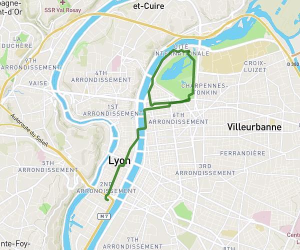
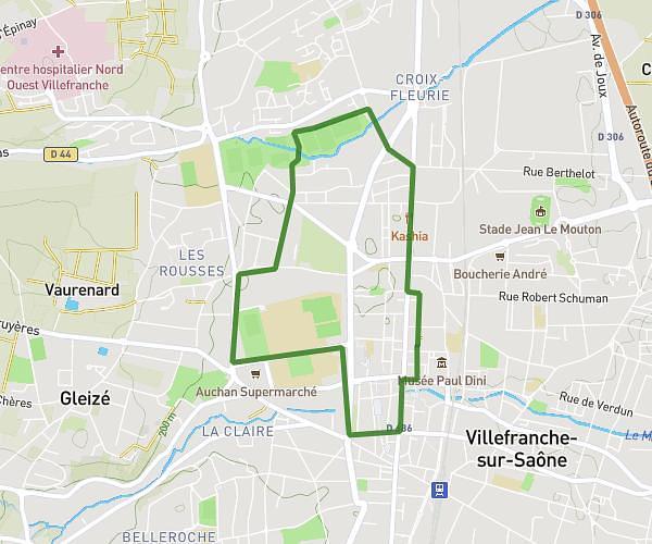
This running route covers 8.027mi starting from Villeurbanne, Rhône. The run does not return to the trailhead and ends near 15 Promenade Jeanne-Barret, 69100 Villeurbanne, France. This run is rated as hard, expect about 1h26m to complete it. The route has an elevation gain of 587ft and an elevation loss of 594ft.
10km
Route details
5.6mph
Speed
983 kcal
Calories burned
Point to point
Route type
538ft
Min altitude
620ft
Max altitude
Route profile
587ft
Elevation gain
594ft
Elevation loss
538ft
Min altitude
620ft
Max altitude
How to get there
Trailhead: 1 Cours De La République, 69100 Villeurbanne, France
GPS coordinates of the trailhead: 45.771664, 4.873544 / 45°46'17'' N, 4°52'24'' E