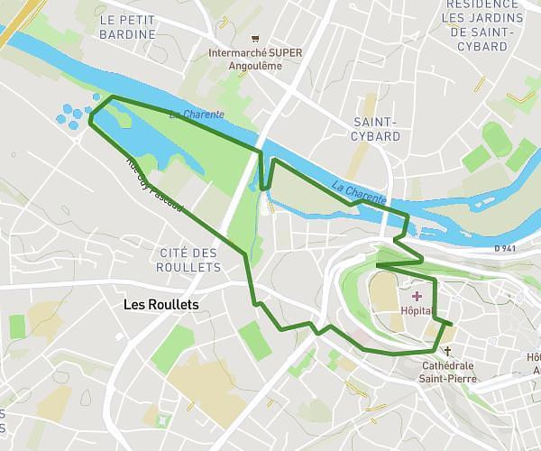
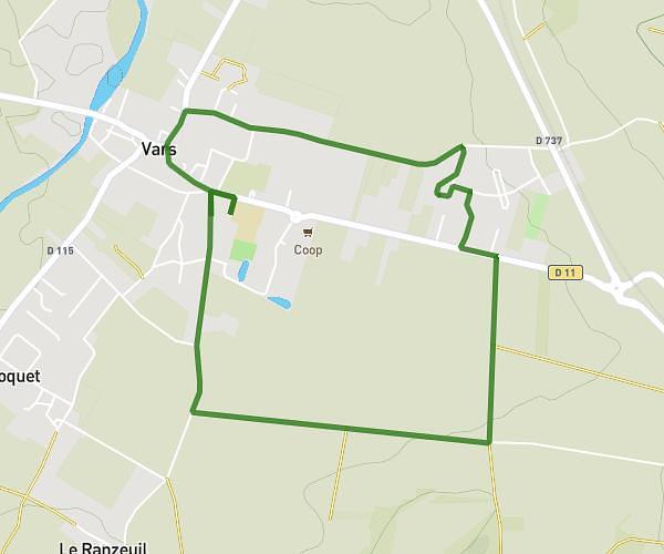
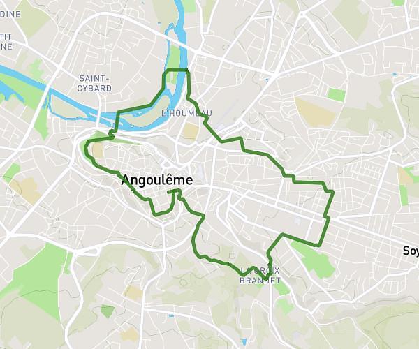
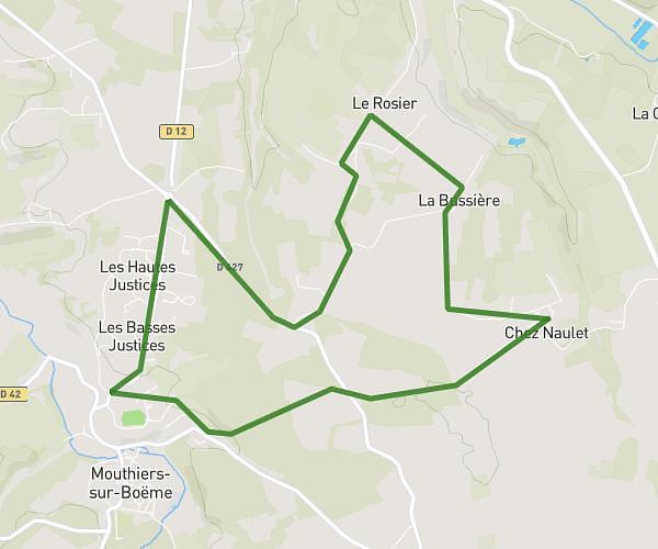
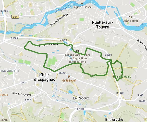
This running route covers 2.201mi starting from Touvre, Charente. The run does not return to the trailhead and ends near 1 Route Des Sources, 16600 Touvre, France. This run is rated as easy, expect about 42m to complete it. The route has an elevation gain of 131ft and an elevation loss of 128ft.
Stade
Route details
3.14mph
Speed
480 kcal
Calories burned
Point to point
Route type
154ft
Min altitude
200ft
Max altitude
Route profile
131ft
Elevation gain
128ft
Elevation loss
154ft
Min altitude
200ft
Max altitude
How to get there
Trailhead: 14 Rue Des Gauchons, 16600 Touvre, France
GPS coordinates of the trailhead: 45.65954, 0.26173 / 45°39'34'' N, 0°15'42'' E