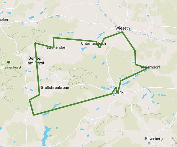
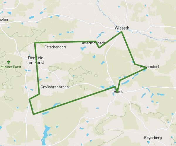
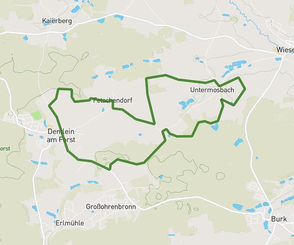
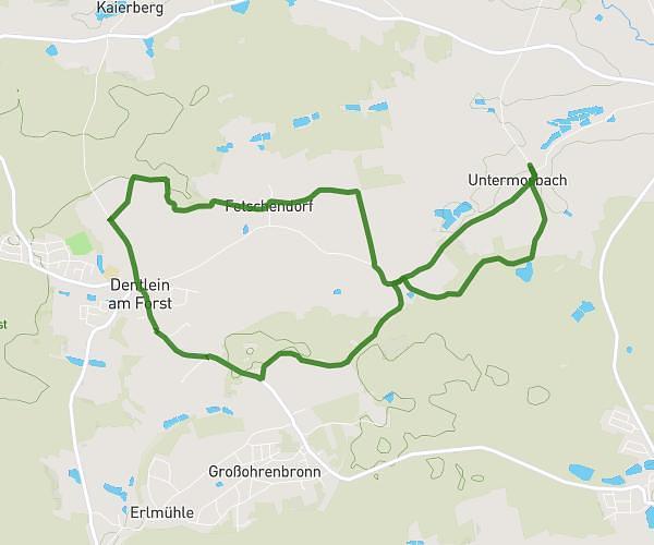
This running route covers 2.545mi starting from Wieseth, Bavaria. The run is a loop trail and returns to the trailhead. This run is rated as easy, expect about 27m to complete it. The route has an elevation gain of 236ft and an elevation loss of 230ft.
Lauf
Route details
5.65mph
Speed
309 kcal
Calories burned
Loop trail
Route type
1453ft
Min altitude
1572ft
Max altitude
Route profile
236ft
Elevation gain
230ft
Elevation loss
1453ft
Min altitude
1572ft
Max altitude
How to get there
Trailhead: Untermosbach 2, 91632 Wieseth, Germany
GPS coordinates of the trailhead: 49.156169, 10.465092 / 49°9'22'' N, 10°27'54'' E