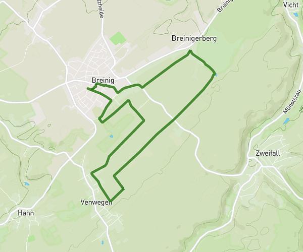
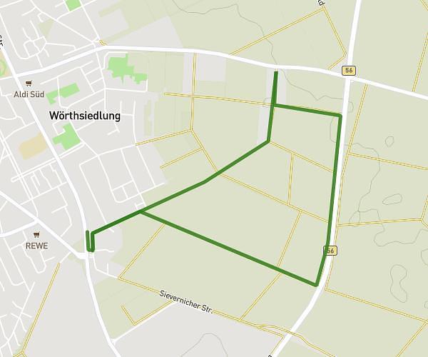
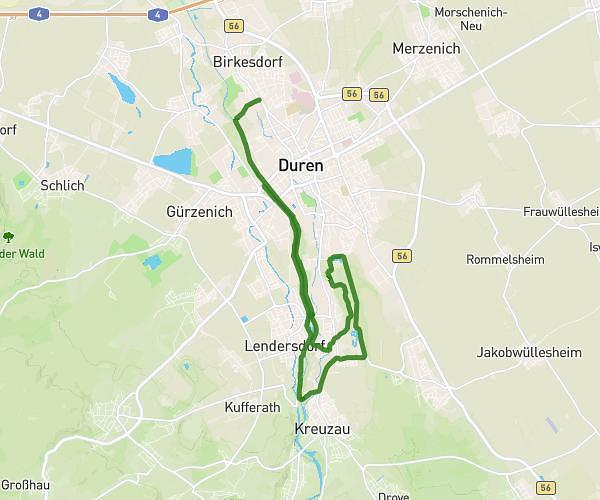
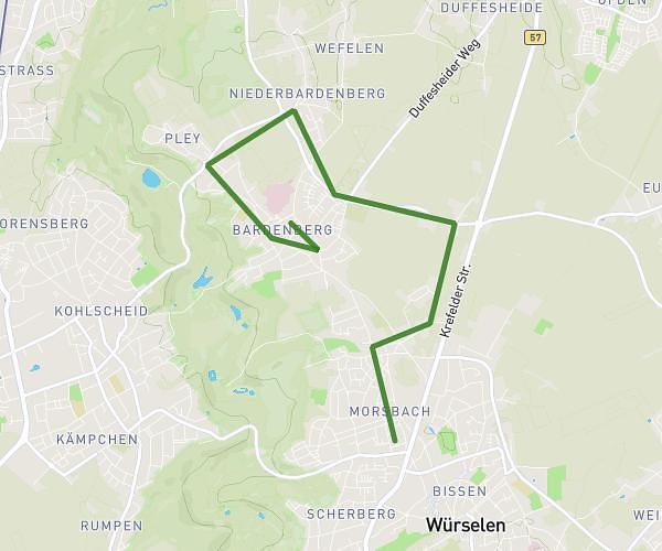
This running route covers 7.141mi starting from Alsdorf, North Rhine-Westphalia. The run is a loop trail and returns to the trailhead. This run is rated as moderate, expect about 1h26m to complete it. The route has an elevation gain of 446ft and an elevation loss of 446ft.
Vorschlag sonntags 11,5 km
Route details
4.97mph
Speed
985 kcal
Calories burned
Loop trail
Route type
354ft
Min altitude
531ft
Max altitude
Route profile
446ft
Elevation gain
446ft
Elevation loss
354ft
Min altitude
531ft
Max altitude
How to get there
Trailhead: Blumenstraße 11, 52477 Alsdorf, Germany
GPS coordinates of the trailhead: 50.878441, 6.143534 / 50°52'42'' N, 6°8'36'' E