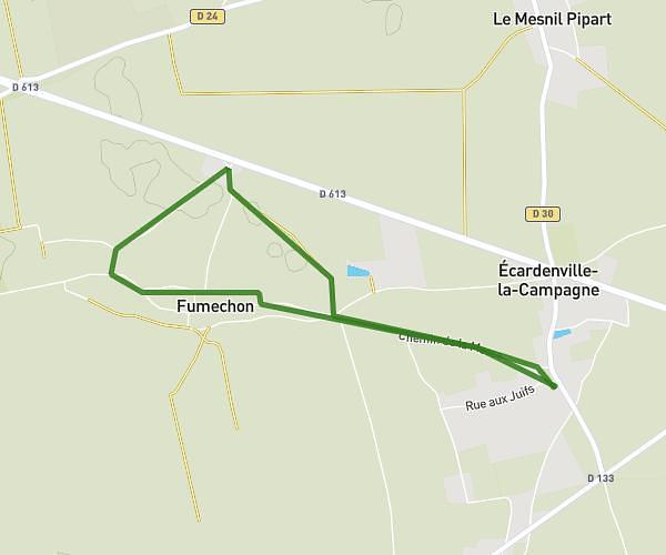
This walking route covers 2.141mi starting from Chamblac, Eure. The walk does not return to the trailhead and ends near Rue Augustin Fresnel, 27270 Broglie. This walk is rated as easy, plan for about 46m to complete it. The route has an elevation gain of 148ft and an elevation loss of 230ft.
broglie
Route details
21:30/mi
Pace
188 kcal
Calories burned
Point to point
Route type
456ft
Min altitude
617ft
Max altitude
Route profile
148ft
Elevation gain
230ft
Elevation loss
456ft
Min altitude
617ft
Max altitude
How to get there
Trailhead: Route Maurice Boisanfray, 27270 Chamblac
GPS coordinates of the trailhead: 49.01151, 0.55694 / 49°0'41'' N, 0°33'24'' E