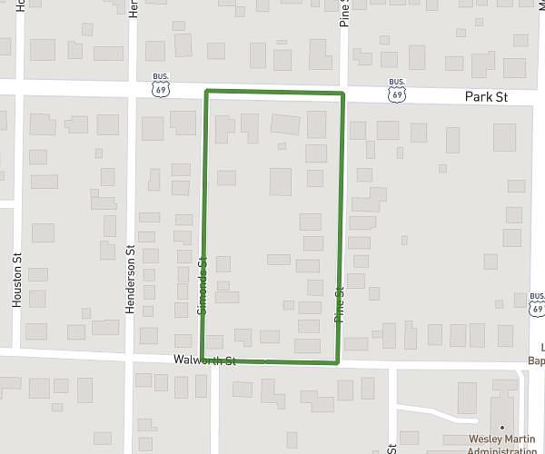
This walking route covers 2.211mi starting from Plano, Texas. The walk is a loop trail and returns to the trailhead. This walk is rated as moderate, plan for about 47m to complete it. The route has an elevation gain of 128ft and an elevation loss of 128ft.
2.111 mi
Route details
21:16/mi
Pace
192 kcal
Calories burned
Loop trail
Route type
610ft
Min altitude
656ft
Max altitude
Route profile
128ft
Elevation gain
128ft
Elevation loss
610ft
Min altitude
656ft
Max altitude
How to get there
Trailhead: 1012 Edgefield Drive, Plano, Texas 75075, United States
GPS coordinates of the trailhead: 33.01385, -96.72128 / 33°0'49'' N, 96°43'16'' W