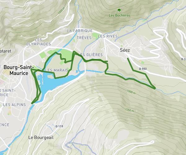
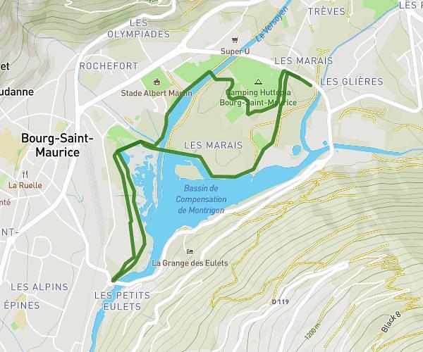
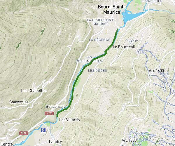
This running route covers 1.312mi starting from Courchevel, Savoie. The run does not return to the trailhead and ends near Route De Praz Juget, 73120 Courchevel. This run is rated as easy, expect about 20m3s to complete it. The route has an elevation gain of 400ft and an elevation loss of 144ft.
Tania
Route details
3.93mph
Speed
229 kcal
Calories burned
Point to point
Route type
4147ft
Min altitude
4459ft
Max altitude
Route profile
400ft
Elevation gain
144ft
Elevation loss
4147ft
Min altitude
4459ft
Max altitude
How to get there
Trailhead: Rue Des Tremplins Olympiques, 73120 Courchevel
GPS coordinates of the trailhead: 45.43279, 6.61821 / 45°25'58'' N, 6°37'5'' E