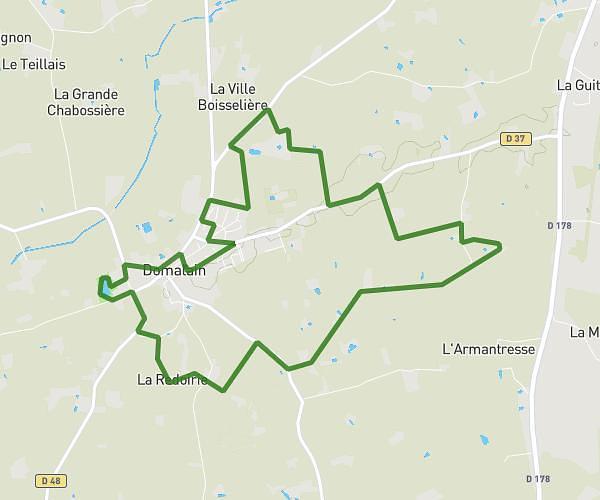
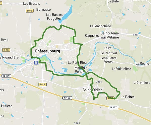
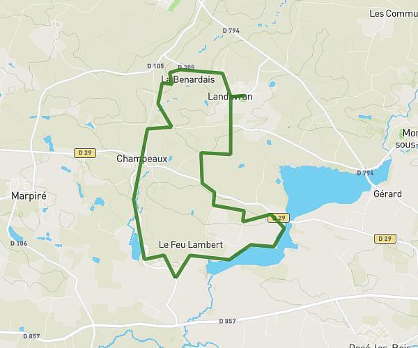
This running route covers 6.71mi starting from Vitré, Ille-et-Vilaine. The run is a loop trail and returns to the trailhead. This run is rated as moderate, expect about 58m54s to complete it. The route has an elevation gain of 486ft and an elevation loss of 482ft.
Chris voie verte Vitré
Route details
6.84mph
Speed
673 kcal
Calories burned
Loop trail
Route type
200ft
Min altitude
384ft
Max altitude
Route profile
486ft
Elevation gain
482ft
Elevation loss
200ft
Min altitude
384ft
Max altitude
How to get there
Trailhead: 19 Rue De La Vallée, 35500 Vitré, France
GPS coordinates of the trailhead: 48.115808, -1.220556 / 48°6'56'' N, 1°13'14'' W