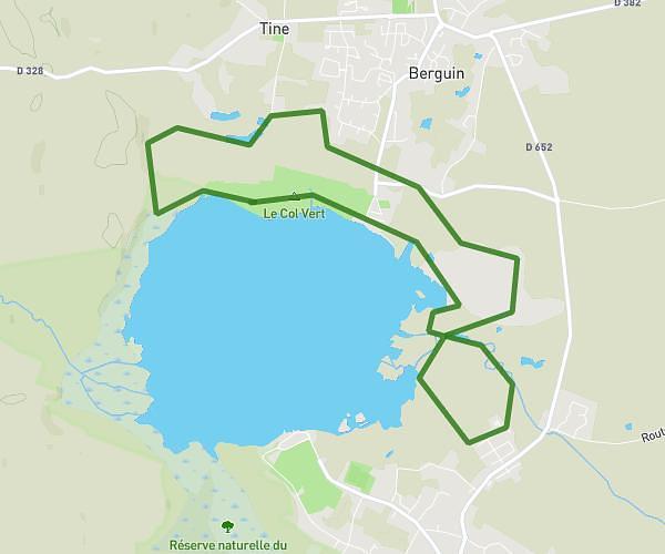
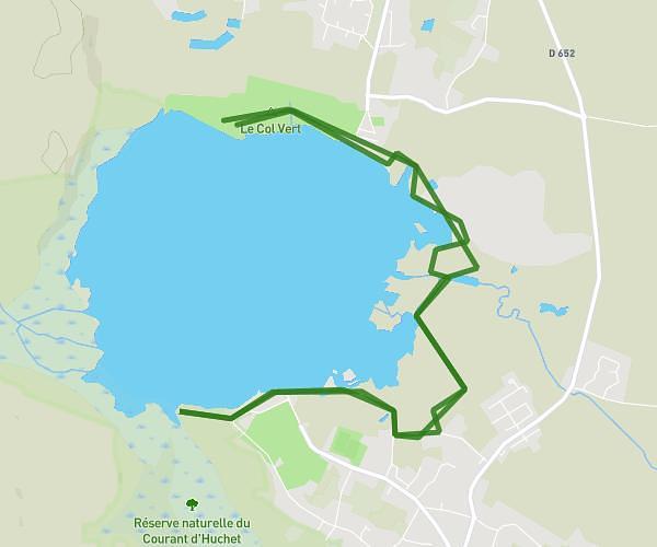
This running route covers 5.174mi starting from Vielle-Saint-Girons, Landes. The run is a loop trail and returns to the trailhead. This run is rated as moderate, expect about 56m to complete it. The route has an elevation gain of 23ft and an elevation loss of 26ft.
8km étang de Léon
Route details
5.54mph
Speed
640 kcal
Calories burned
Loop trail
Route type
23ft
Min altitude
39ft
Max altitude
Route profile
23ft
Elevation gain
26ft
Elevation loss
23ft
Min altitude
39ft
Max altitude
How to get there
Trailhead: Chemin De Compostelle (Voie Du Littoral) Gr7, 40560 Vielle-Saint-Girons, France
GPS coordinates of the trailhead: 43.90312, -1.32125 / 43°54'11'' N, 1°19'16'' W