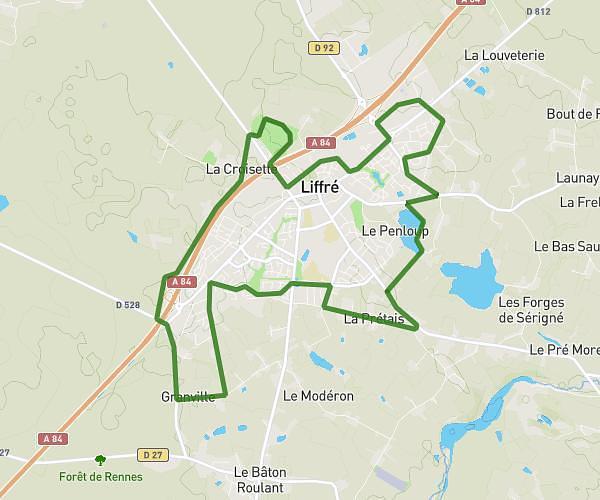
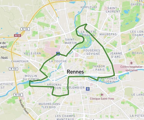
This running route covers 12.294mi starting from Vignoc, Ille-et-Vilaine. The run does not return to the trailhead and ends near 2 Rue Des Dames, 35000 Rennes, France. This run is rated as strenuous, expect about 1h58m to complete it. The route has an elevation gain of 449ft and an elevation loss of 659ft.
PNJ Triathlon : Course à pied
Route details
6.21mph
Speed
1357 kcal
Calories burned
Point to point
Route type
72ft
Min altitude
335ft
Max altitude
Route profile
449ft
Elevation gain
659ft
Elevation loss
72ft
Min altitude
335ft
Max altitude
How to get there
Trailhead: 2 Allée Des Faisans, 35630 Vignoc, France
GPS coordinates of the trailhead: 48.247938, -1.783117 / 48°14'52'' N, 1°46'59'' W