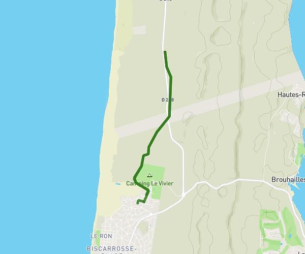
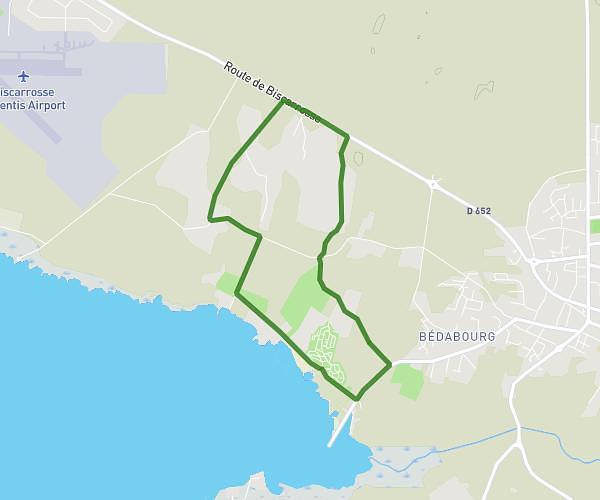
This running route covers 16.61mi starting from Pontenx-les-Forges, Landes. The run is a loop trail and returns to the trailhead. This run is rated as strenuous, expect about 2h45m to complete it. The route has an elevation gain of 66ft and an elevation loss of 66ft.
aller + tour du lac d'Aureilhan + retour
Route details
6.04mph
Speed
1887 kcal
Calories burned
Loop trail
Route type
23ft
Min altitude
89ft
Max altitude
Route profile
66ft
Elevation gain
66ft
Elevation loss
23ft
Min altitude
89ft
Max altitude
How to get there
Trailhead: Avenue Du Lieutenant Duverger, 40200 Pontenx-les-Forges
GPS coordinates of the trailhead: 44.2419, -1.11803 / 44°14'30'' N, 1°7'4'' W