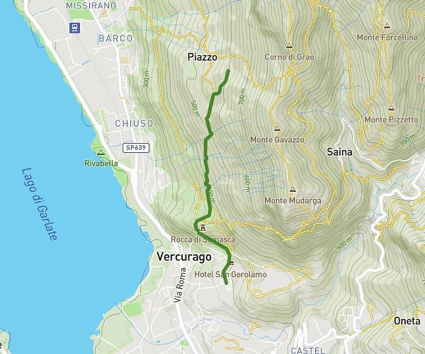
This hiking trail covers 6.554mi starting from Faggeto Lario, Como. The hike is a loop trail and returns to the trailhead. This hike is rated as strenuous, plan for about 2h47m to complete it. The route has an elevation gain of 2900ft and an elevation loss of 2904ft.
Palanzone depuis Palanzo
Route details
2.35mph
Speed
1332 kcal
Calories burned
16.8%
Avg grade
Loop trail
Route type
1788ft
Min altitude
4636ft
Max altitude
Steep climb
Route profile
2900ft
Elevation gain
2904ft
Elevation loss
1788ft
Min altitude
4636ft
Max altitude
How to get there
Trailhead: Strada Provinciale 43 Di Faggeto, 22020 Faggeto Lario Como, Italy
GPS coordinates of the trailhead: 45.86712, 9.16128 / 45°52'1'' N, 9°9'40'' E