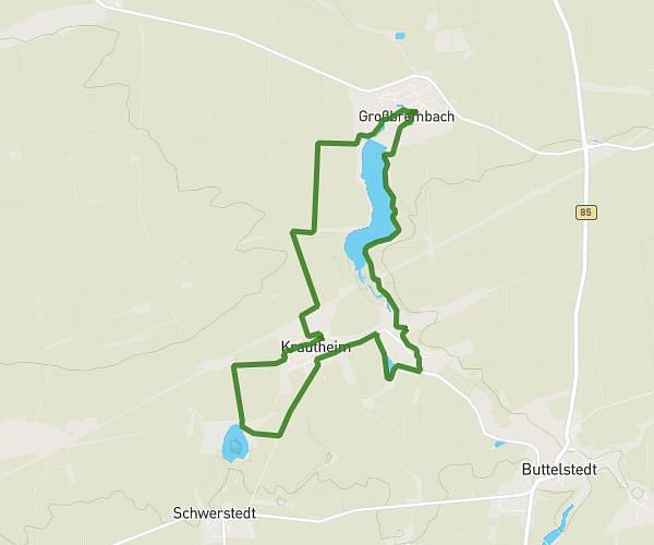
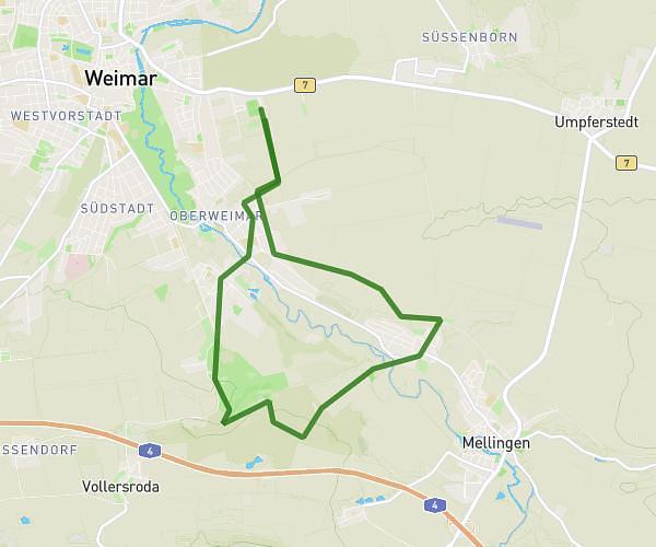
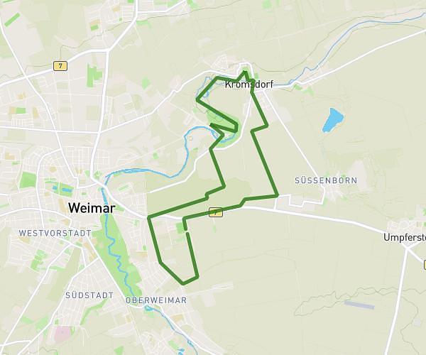
This hiking trail covers 13.181mi starting from Erfurt, Thuringia. The hike does not return to the trailhead and ends near Schopenhauerstraße 2, 99423 Weimar, Germany. This hike is rated as easy, plan for about 4h33m to complete it. The route has an elevation gain of 541ft and an elevation loss of 1237ft.
Linderbach Weimat
Route details
2.9mph
Speed
1936 kcal
Calories burned
2.6%
Avg grade
Point to point
Route type
0ft
Min altitude
866ft
Max altitude
Route profile
541ft
Elevation gain
1237ft
Elevation loss
0ft
Min altitude
866ft
Max altitude
How to get there
Trailhead: Lappenhügel 1, 99098 Erfurt, Germany
GPS coordinates of the trailhead: 50.980538, 11.102738 / 50°58'49'' N, 11°6'9'' E