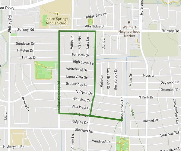
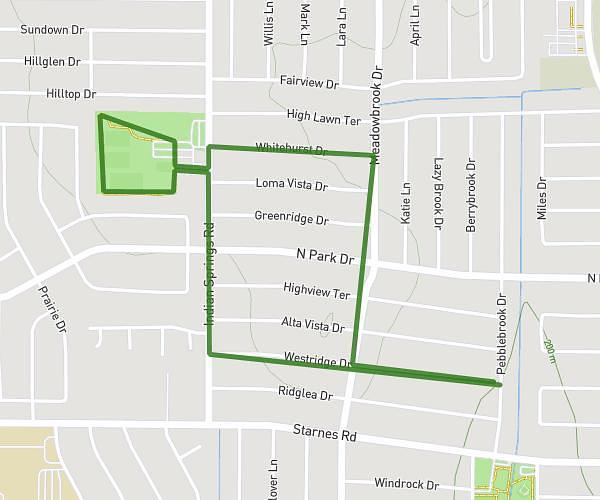
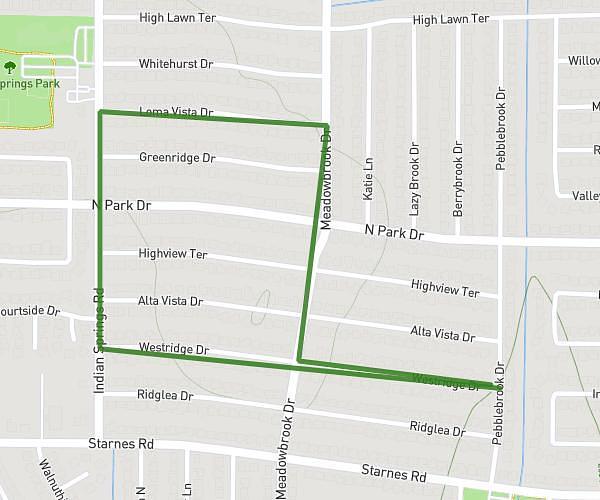
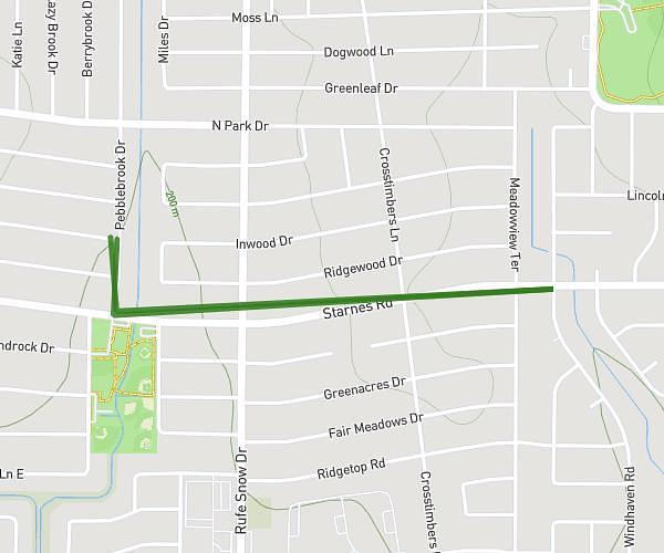
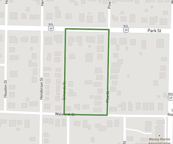
This walking route covers 1.249mi starting from Watauga, Texas. The walk is a loop trail and returns to the trailhead. This walk is rated as easy, plan for about 27m to complete it. The route has an elevation gain of 66ft and an elevation loss of 66ft.
basic loop
Route details
21:36/mi
Pace
110 kcal
Calories burned
Loop trail
Route type
673ft
Min altitude
722ft
Max altitude
Route profile
66ft
Elevation gain
66ft
Elevation loss
673ft
Min altitude
722ft
Max altitude
How to get there
Trailhead: Westridge Drive, 76148 Watauga
GPS coordinates of the trailhead: 32.88311, -97.24108 / 32°52'59'' N, 97°14'27'' W