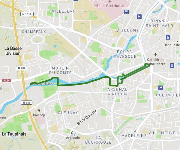
This running route covers 13.119mi starting from Rennes, Ille-et-Vilaine. The run does not return to the trailhead and ends near D 837, 35131 Pont-Péan. This run is rated as moderate, expect about 2h6m to complete it. The route has an elevation gain of 315ft and an elevation loss of 315ft.
Rennes - Pont Péan
Route details
6.24mph
Speed
1441 kcal
Calories burned
Point to point
Route type
13ft
Min altitude
138ft
Max altitude
Route profile
315ft
Elevation gain
315ft
Elevation loss
13ft
Min altitude
138ft
Max altitude
How to get there
Trailhead: Boulevard De La Guérinais, 35000 Rennes
GPS coordinates of the trailhead: 48.09937, -1.71115 / 48°5'57'' N, 1°42'40'' W