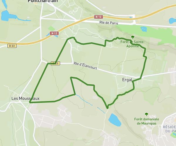
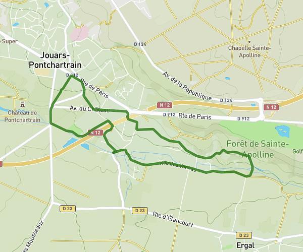
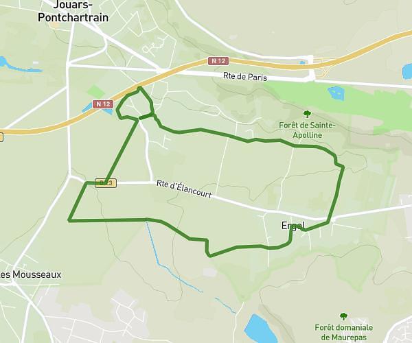
This walking route covers 2.612mi starting from Nanterre, Hauts-de-Seine. The walk is a loop trail and returns to the trailhead. This walk is rated as easy, plan for about 56m to complete it. The route has an elevation gain of 135ft and an elevation loss of 135ft.
Nanterre Rueil
Route details
21:27/mi
Pace
229 kcal
Calories burned
Loop trail
Route type
82ft
Min altitude
135ft
Max altitude
Route profile
135ft
Elevation gain
135ft
Elevation loss
82ft
Min altitude
135ft
Max altitude
How to get there
Trailhead: 11 Avenue Vladimir Ilitch Lénine, 92000 Nanterre, France
GPS coordinates of the trailhead: 48.887339, 2.198403 / 48°53'14'' N, 2°11'54'' E