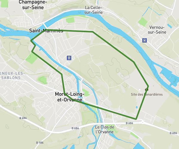
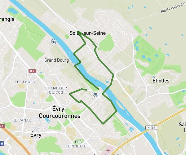
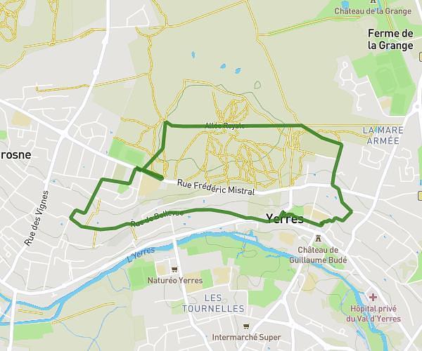
This running route covers 16.172mi starting from Melun, Seine-et-Marne. The run is a loop trail and returns to the trailhead. This run is rated as strenuous, expect about 1h57m to complete it. The route has an elevation gain of 135ft and an elevation loss of 128ft.
26km boucle
Route details
8.27mph
Speed
1341 kcal
Calories burned
Loop trail
Route type
138ft
Min altitude
272ft
Max altitude
Route profile
135ft
Elevation gain
128ft
Elevation loss
138ft
Min altitude
272ft
Max altitude
How to get there
Trailhead: 21 Rue Saint-Liesne, 77000 Melun, France
GPS coordinates of the trailhead: 48.53991, 2.66596 / 48°32'23'' N, 2°39'57'' E