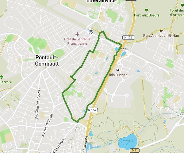
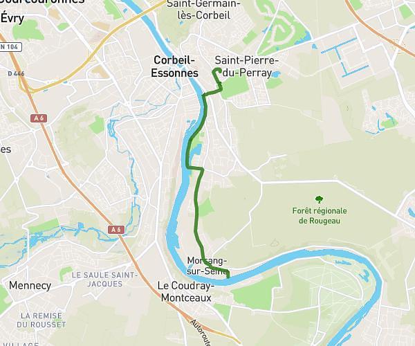
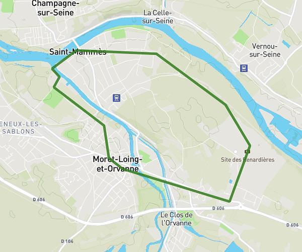
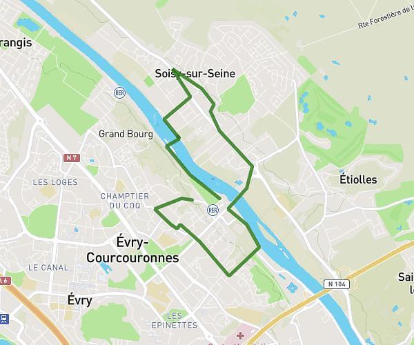
This running route covers 16.638mi starting from Melun, Seine-et-Marne. The run does not return to the trailhead and ends near 21 Rue Du Général De Gaulle, 91610 Ballancourt-sur-Essonne, France. This run is rated as strenuous, expect about 2h45m to complete it. The route has an elevation gain of 367ft and an elevation loss of 0ft.
Melun --> Ballancourt
Route details
6.05mph
Speed
1887 kcal
Calories burned
Point to point
Route type
135ft
Min altitude
502ft
Max altitude
Route profile
367ft
Elevation gain
0ft
Elevation loss
135ft
Min altitude
502ft
Max altitude
How to get there
Trailhead: 21 Rue Saint-Liesne, 77000 Melun, France
GPS coordinates of the trailhead: 48.5399, 2.66594 / 48°32'23'' N, 2°39'57'' E