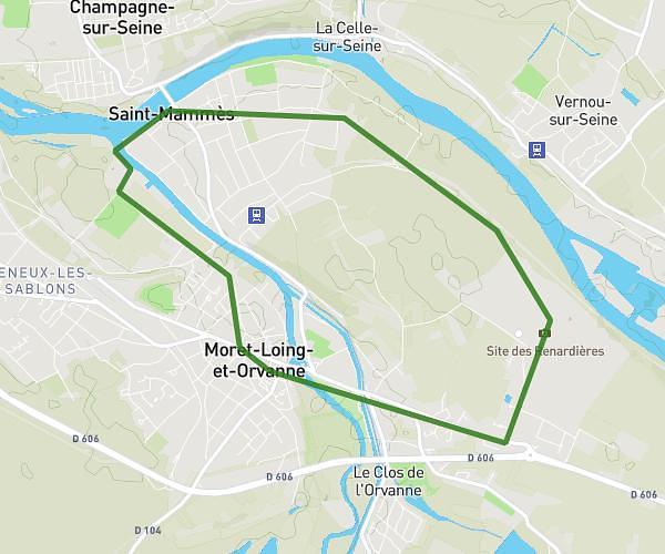
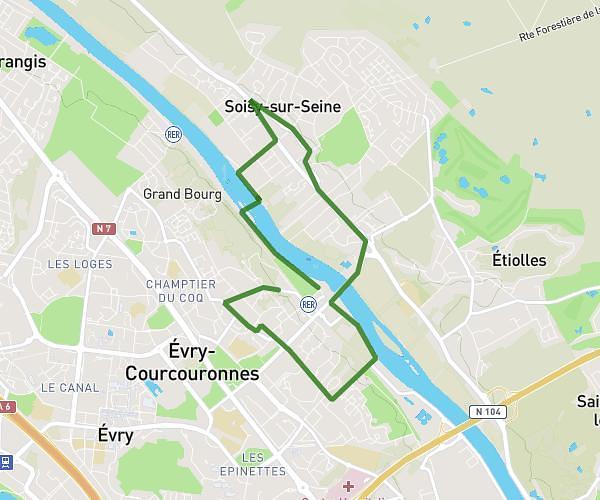
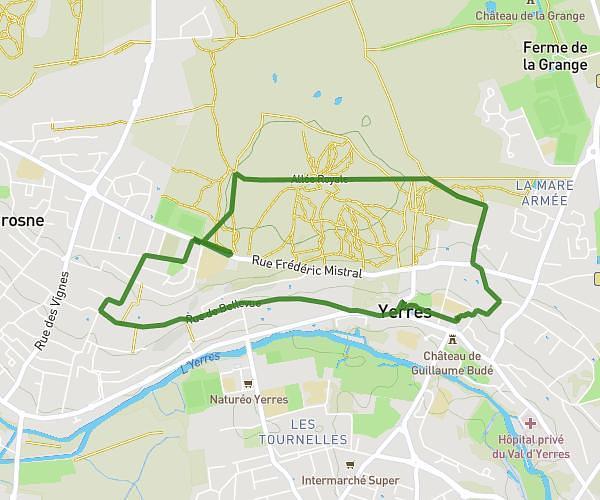
This running route covers 18.664mi starting from Melun, Seine-et-Marne. The run does not return to the trailhead and ends near 2 Rue Anne-Marie Javouhey, 77300 Fontainebleau, France. This run is rated as strenuous, expect about 3h5m to complete it. The route has an elevation gain of 1201ft and an elevation loss of 1093ft.
Melun --> Hôpital de Bleau 30km
Route details
6.05mph
Speed
2115 kcal
Calories burned
Point to point
Route type
131ft
Min altitude
325ft
Max altitude
Route profile
1201ft
Elevation gain
1093ft
Elevation loss
131ft
Min altitude
325ft
Max altitude
How to get there
Trailhead: 21 Rue Saint-Liesne, 77000 Melun, France
GPS coordinates of the trailhead: 48.539911, 2.665923 / 48°32'23'' N, 2°39'57'' E