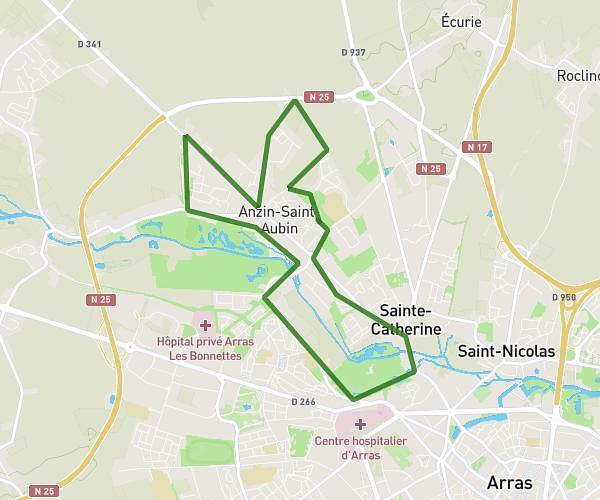
This running route covers 3.446mi starting from Dainville, Pas-de-Calais. The run is a loop trail and returns to the trailhead. This run is rated as easy, expect about 37m to complete it. The route has an elevation gain of 26ft and an elevation loss of 10ft.
Entraînement 28/11/2025
Route details
5.59mph
Speed
423 kcal
Calories burned
Loop trail
Route type
213ft
Min altitude
240ft
Max altitude
Route profile
26ft
Elevation gain
10ft
Elevation loss
213ft
Min altitude
240ft
Max altitude
How to get there
Trailhead: 8 Rue Ampère, 62000 Dainville, France
GPS coordinates of the trailhead: 50.283192, 2.727715 / 50°16'59'' N, 2°43'39'' E