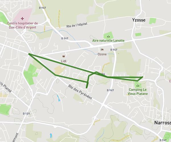
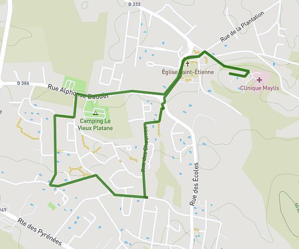
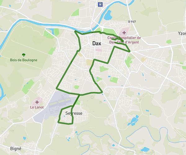
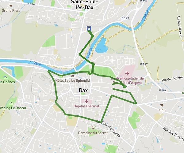
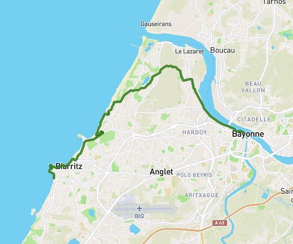
This running route covers 8.537mi starting from Salies-de-Béarn, Pyrénées-Atlantiques. The run is a loop trail and returns to the trailhead. This run is rated as hard, expect about 1h30m to complete it. The route has an elevation gain of 764ft and an elevation loss of 764ft.
13 km Salies-de-Béarn
Route details
5.69mph
Speed
1029 kcal
Calories burned
Loop trail
Route type
128ft
Min altitude
518ft
Max altitude
Route profile
764ft
Elevation gain
764ft
Elevation loss
128ft
Min altitude
518ft
Max altitude
How to get there
Trailhead: C 2, 64270 Salies-de-Béarn, France
GPS coordinates of the trailhead: 43.46583, -0.9401 / 43°27'56'' N, 0°56'24'' W