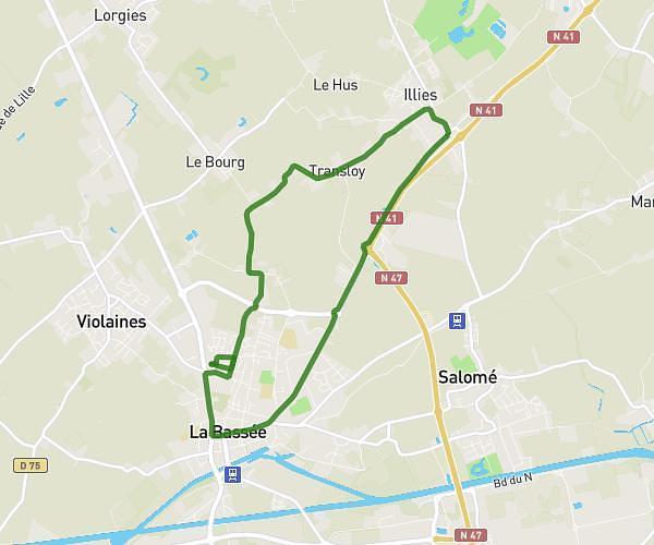
This running route covers 6.245mi starting from Lens, Pas-de-Calais. The run does not return to the trailhead and ends near 99 Rue Paul Bert, 62300 Lens, France. This run is rated as moderate, expect about 50m15s to complete it. The route has an elevation gain of 220ft and an elevation loss of 226ft.
Parcours - 10km RDL 2026-20341904
Route details
7.46mph
Speed
575 kcal
Calories burned
Point to point
Route type
92ft
Min altitude
138ft
Max altitude
Route profile
220ft
Elevation gain
226ft
Elevation loss
92ft
Min altitude
138ft
Max altitude
How to get there
Trailhead: 24 Place Jean Jaurès, 62300 Lens, France
GPS coordinates of the trailhead: 50.42927, 2.83196 / 50°25'45'' N, 2°49'55'' E