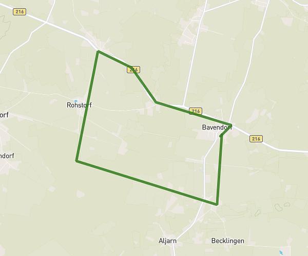
This running route covers 8.922mi starting from Thomasburg, Lower Saxony. The run is a loop trail and returns to the trailhead. This run is rated as hard, expect about 1h36m to complete it. The route has an elevation gain of 49ft and an elevation loss of 62ft.
Bavendorf-Rohstorf V.2
Route details
5.57mph
Speed
1098 kcal
Calories burned
Loop trail
Route type
190ft
Min altitude
223ft
Max altitude
Route profile
49ft
Elevation gain
62ft
Elevation loss
190ft
Min altitude
223ft
Max altitude
How to get there
Trailhead: Im Dorfe 15, 21401 Thomasburg, Germany
GPS coordinates of the trailhead: 53.194858, 10.63771 / 53°11'41'' N, 10°38'15'' E