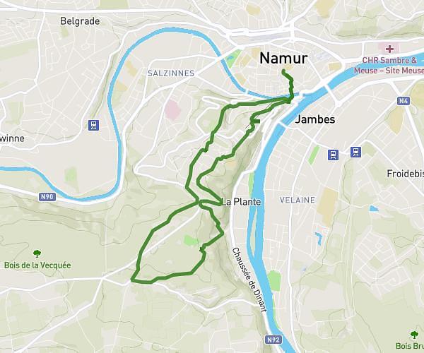
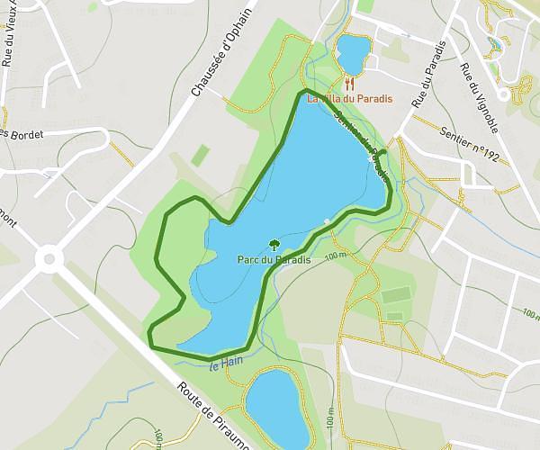
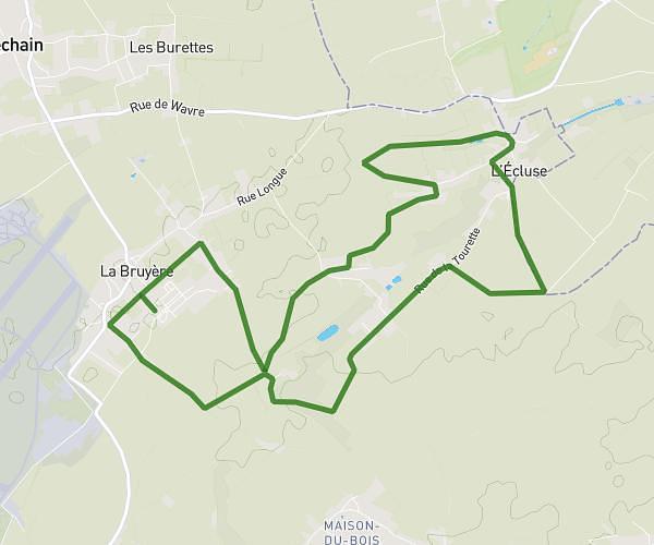
This running route covers 4.252mi starting from Ottignies-Louvain-la-Neuve, Walloon Brabant. The run is a loop trail and returns to the trailhead. This run is rated as easy, expect about 46m to complete it. The route has an elevation gain of 577ft and an elevation loss of 577ft.
Bois des rêves - mi long
Route details
5.55mph
Speed
526 kcal
Calories burned
Loop trail
Route type
236ft
Min altitude
443ft
Max altitude
Route profile
577ft
Elevation gain
577ft
Elevation loss
236ft
Min altitude
443ft
Max altitude
How to get there
Trailhead: Rue De L'hocaille 39, 1348 Ottignies-Louvain-la-Neuve, Walloon Brabant, Belgium
GPS coordinates of the trailhead: 50.669773, 4.604576 / 50°40'11'' N, 4°36'16'' E