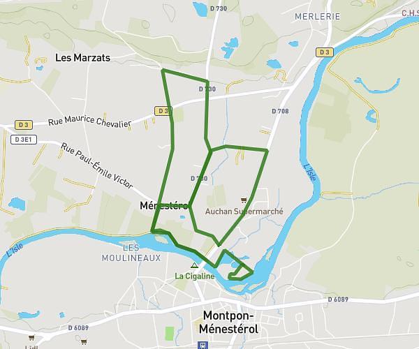
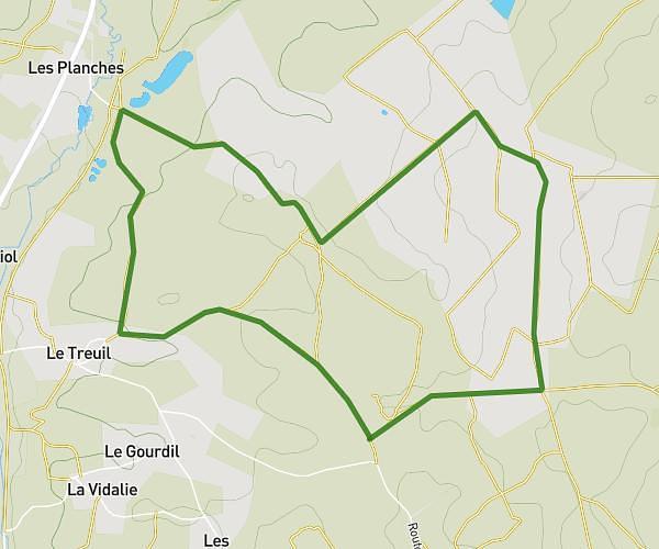
This running route covers 8.769mi starting from Saint Aulaye-Puymangou, Dordogne. The run is a loop trail and returns to the trailhead. This run is rated as hard, expect about 1h10m to complete it. The route has an elevation gain of 141ft and an elevation loss of 138ft.
Dordogne
Route details
7.46mph
Speed
807 kcal
Calories burned
Loop trail
Route type
177ft
Min altitude
282ft
Max altitude
Route profile
141ft
Elevation gain
138ft
Elevation loss
177ft
Min altitude
282ft
Max altitude
How to get there
Trailhead: 8 Rue Jean Moulin, 24410 Saint Aulaye-Puymangou, France
GPS coordinates of the trailhead: 45.19868, 0.13807 / 45°11'55'' N, 0°8'17'' E