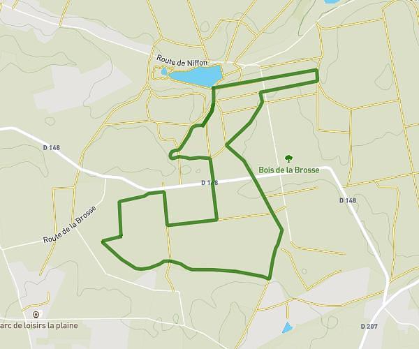
This hiking trail covers 3.931mi starting from La Guerche-sur-l'Aubois, Cher. The hike does not return to the trailhead and ends near Rue Jean Jaurès, 18150 La Guerche-sur-l'Aubois. This hike is rated as easy, plan for about 1h13m to complete it. The route has an elevation gain of 157ft and an elevation loss of 171ft.
parcours véronique 2
Route details
3.23mph
Speed
517 kcal
Calories burned
1.6%
Avg grade
Point to point
Route type
591ft
Min altitude
686ft
Max altitude
Route profile
157ft
Elevation gain
171ft
Elevation loss
591ft
Min altitude
686ft
Max altitude
How to get there
Trailhead: Rue Pierre Sémard, 18150 La Guerche-sur-l'Aubois
GPS coordinates of the trailhead: 46.94897, 2.94705 / 46°56'56'' N, 2°56'49'' E