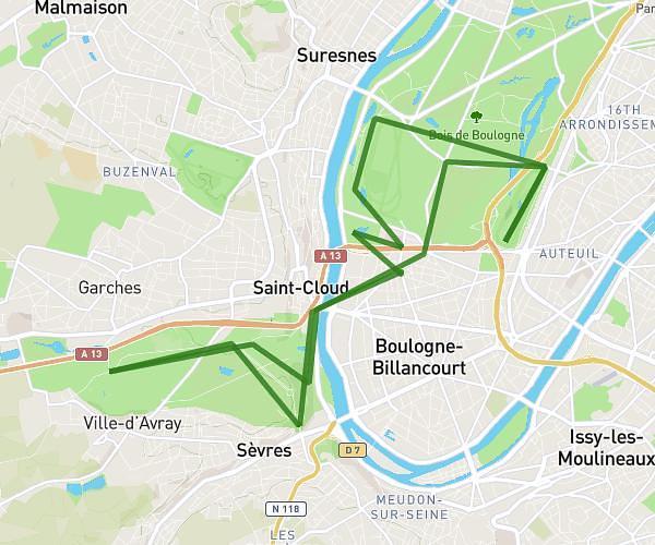
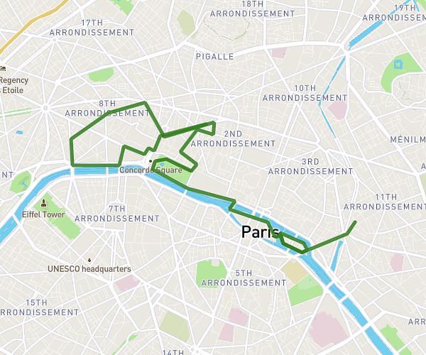
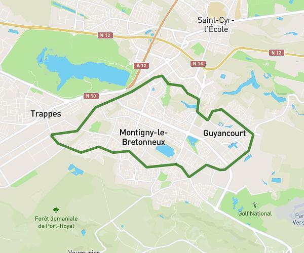
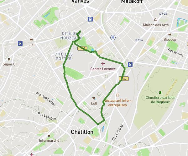
Explore this running route of 6,32mi starting from Clichy, Hauts-de-Seine. The run is a loop and returns to the starting point. This run has no defined difficulty level, expect about 1h1m to complete it.
CLICHY
Route details
How to get there
Route starting point: 4 Rue Palloy, 92110 Clichy, France
GPS coordinates of the starting point: 48.90216, 2.30715 / 48°54'7'' N, 2°18'25'' E


