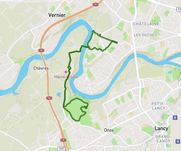
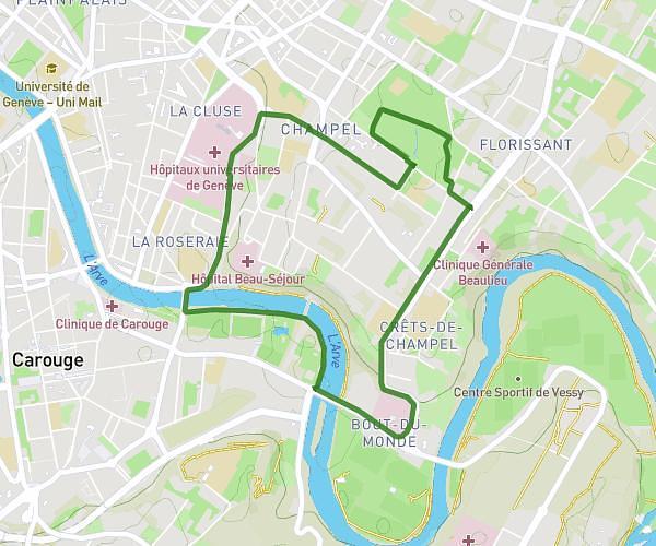
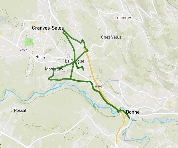
This running route covers 5.699mi starting from Gland, Vaud. The run is a loop trail and returns to the trailhead. This run is rated as moderate, expect about 51m to complete it. The route has an elevation gain of 299ft and an elevation loss of 299ft.
9km gland
Route details
6.7mph
Speed
583 kcal
Calories burned
Loop trail
Route type
1270ft
Min altitude
1348ft
Max altitude
Route profile
299ft
Elevation gain
299ft
Elevation loss
1270ft
Min altitude
1348ft
Max altitude
How to get there
Trailhead: Chemin De La Falaise 14, 1196 Gland, Switzerland
GPS coordinates of the trailhead: 46.419091, 6.288342 / 46°25'8'' N, 6°17'18'' E