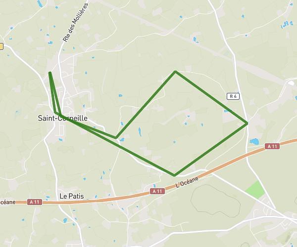
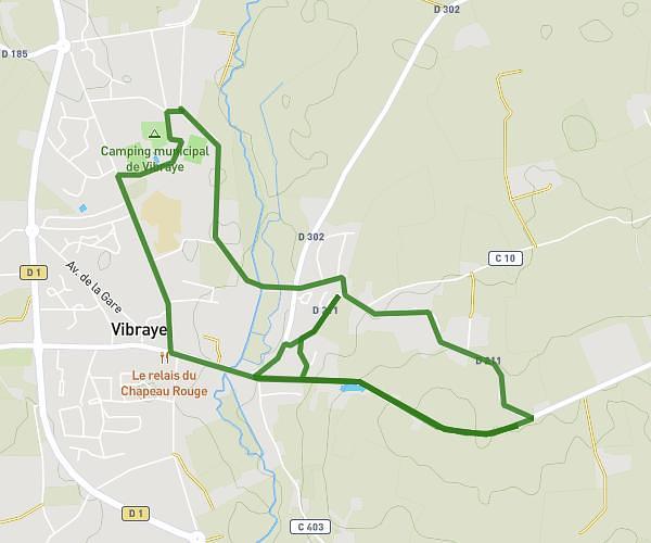
This running route covers 6.037mi starting from Vibraye, Sarthe. The run is a loop trail and returns to the trailhead. This run is rated as moderate, expect about 58m17s to complete it. The route has an elevation gain of 610ft and an elevation loss of 610ft.
10k - Le mur de la mort
Route details
6.21mph
Speed
666 kcal
Calories burned
Loop trail
Route type
381ft
Min altitude
617ft
Max altitude
Route profile
610ft
Elevation gain
610ft
Elevation loss
381ft
Min altitude
617ft
Max altitude
How to get there
Trailhead: 1 Rue De L'artisanat, 72320 Vibraye, France
GPS coordinates of the trailhead: 48.068559, 0.736461 / 48°4'6'' N, 0°44'11'' E