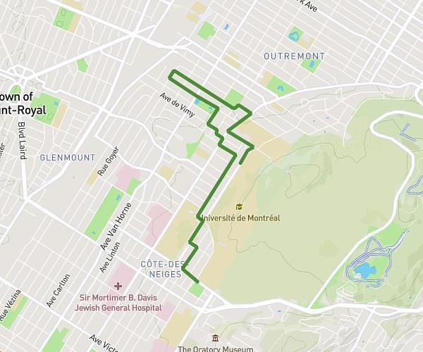
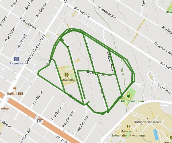
This running route covers 3.282mi starting from Montréal, Quebec. The run is a loop trail and returns to the trailhead. This run is rated as easy, expect about 35m to complete it. The route has an elevation gain of 46ft and an elevation loss of 46ft.
Jog Sarah
Route details
5.62mph
Speed
400 kcal
Calories burned
Loop trail
Route type
276ft
Min altitude
318ft
Max altitude
Route profile
46ft
Elevation gain
46ft
Elevation loss
276ft
Min altitude
318ft
Max altitude
How to get there
Trailhead: 5080 Avenue Ponsard, Montréal, Quebec H3W 2A7, Canada
GPS coordinates of the trailhead: 45.483438, -73.622995 / 45°29'0'' N, 73°37'22'' W