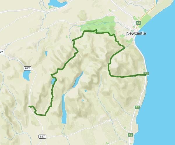
This hiking trail covers 14.338mi starting from Newry, Northern Ireland. The hike does not return to the trailhead and ends near 2 Hilltown Road, Tollymore, Newcastle, BT33 0PX, United Kingdom. This hike is rated as strenuous, plan for about 7h36m to complete it. The route has an elevation gain of 2178ft and an elevation loss of 2730ft.
dofe silver pt2
Route details
1.89mph
Speed
3345 kcal
Calories burned
6.5%
Avg grade
Point to point
Route type
256ft
Min altitude
1617ft
Max altitude
Route profile
2178ft
Elevation gain
2730ft
Elevation loss
256ft
Min altitude
1617ft
Max altitude
How to get there
Trailhead: 300 Moyad Road, Lisnacree, Newry, BT34 4SU, United Kingdom
GPS coordinates of the trailhead: 54.14446, -6.0571 / 54°8'40'' N, 6°3'25'' W