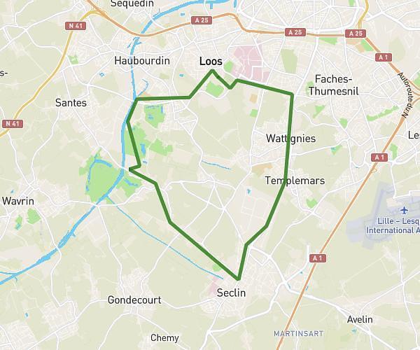
This running route covers 6.836mi starting from Fournes-en-Weppes, Nord. The run is a loop trail and returns to the trailhead. This run is rated as moderate, expect about 3h40m to complete it. The route has an elevation gain of 138ft and an elevation loss of 138ft.
11k
Route details
1.86mph
Speed
2516 kcal
Calories burned
Loop trail
Route type
85ft
Min altitude
131ft
Max altitude
Route profile
138ft
Elevation gain
138ft
Elevation loss
85ft
Min altitude
131ft
Max altitude
How to get there
Trailhead: Rue Carnot, 59134 Fournes-en-Weppes
GPS coordinates of the trailhead: 50.588, 2.88626 / 50°35'16'' N, 2°53'10'' E