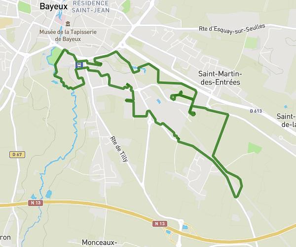
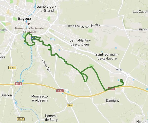
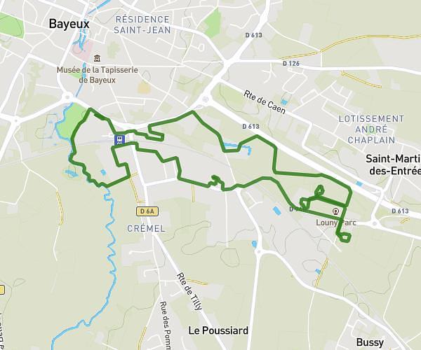
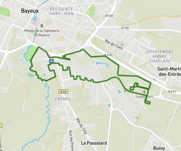
This running route covers 13.64mi starting from Courseulles-sur-Mer, Calvados. The run does not return to the trailhead and ends near 66 Res Les Jardins De Courseulles, 14470 Courseulles-sur-Mer, France. This run is rated as strenuous, expect about 4h to complete it. The route has an elevation gain of 69ft and an elevation loss of 33ft.
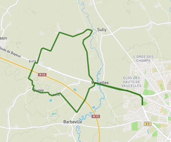
Parcours 20 km
Route details
3.41mph
Speed
2744 kcal
Calories burned
Point to point
Route type
7ft
Min altitude
62ft
Max altitude
Route profile
69ft
Elevation gain
33ft
Elevation loss
7ft
Min altitude
62ft
Max altitude
How to get there
Trailhead: 13 Quai Des Frères Labreques, 14470 Courseulles-sur-Mer, France
GPS coordinates of the trailhead: 49.33683, -0.45956 / 49°20'12'' N, 0°27'34'' W