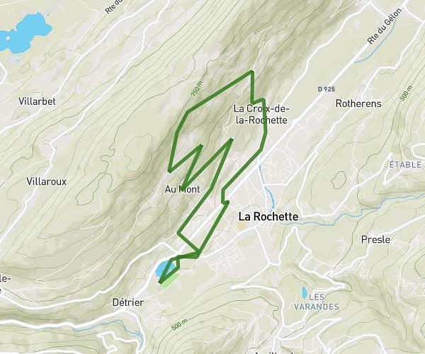
This running route covers 5.969mi starting from Aillon-le-Jeune, Savoie. The run is a loop trail and returns to the trailhead. This run is rated as moderate, expect about 1h10m to complete it. The route has an elevation gain of 876ft and an elevation loss of 630ft.
Aillon
Route details
5.11mph
Speed
800 kcal
Calories burned
Loop trail
Route type
3081ft
Min altitude
3957ft
Max altitude
Route profile
876ft
Elevation gain
630ft
Elevation loss
3081ft
Min altitude
3957ft
Max altitude
How to get there
Trailhead: Route De Motzon, 73340 Aillon-le-Jeune
GPS coordinates of the trailhead: 45.61288, 6.10148 / 45°36'46'' N, 6°6'5'' E