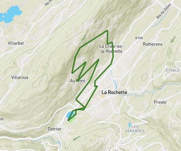
This running route covers 5.914mi starting from Le Châtelard, Savoie. The run is a loop trail and returns to the trailhead. This run is rated as moderate, expect about 1h5m to complete it. The route has an elevation gain of 82ft and an elevation loss of 85ft.
Lescheraines
Route details
5.46mph
Speed
743 kcal
Calories burned
Loop trail
Route type
1985ft
Min altitude
2057ft
Max altitude
Route profile
82ft
Elevation gain
85ft
Elevation loss
1985ft
Min altitude
2057ft
Max altitude
How to get there
Trailhead: 1770 Route Des Hameaux, 73630 Le Châtelard, France
GPS coordinates of the trailhead: 45.68833, 6.11796 / 45°41'17'' N, 6°7'4'' E